Mountains, Mines and Structural Settings of the North and Central Altar Valley, Coyote Mountains to Sierrita Mountains, Pima County, Arizona
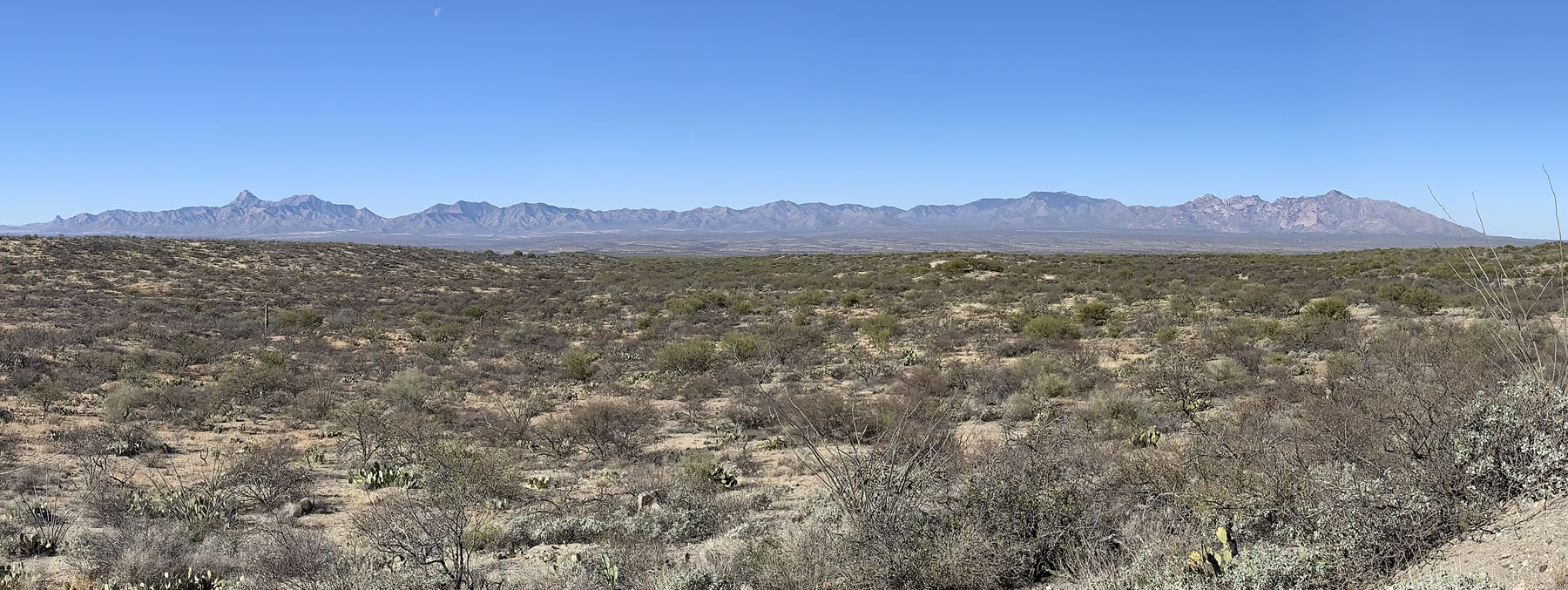
Altar Valley looking west toward the Baboquivari,
and Coyote Mountains
AGS Members and their guests are invited to join the field trip as we visit Stevens Mountain and the north Coyote Mountains. The Arizona Geological Society website address is www.arizonageologicalsoc.org. A link for on-line registration is available below.
Field Trip Leaders: Jay Chapman, Assistant Professor, University of Wyoming, Dan Aiken, and Floyd Gray, U.S.G.S.
Acknowledgements - The Arizona Geological Society thanks Patricia, Joe and Sarah King at the King's Anvil Ranch for permitting field trip participants to use their property for this event.
The Arizona Geological Society also thanks Jay Chapman, Assistant Professor from the University of Wyoming, who has graciously volunteered to lead this field trip. Dr. Floyd Gray, U.S. Geological Survey, is also thanked for his participation at selected stops.

The Arizona Geological Society thanks Skyline Assayers and Laboratories for sponsoring the 2022 Spring Field Trip. Their financial assistance has helped to cover the costs of printing the field trip guidebooks, posters and other expenses.
Field Trip Date/Time - Saturday, April 16, 2022, 8:15 AM
Field Trip Costs -$45.00 for members, $50.00 for non-members and $15.00 for students. These fees will help cover the cost of a printed copy of the Field Trip Guidebook, lunch, refreshments and tour materials. Registration Deadline for this event is 6 PM on April 6, 2022.
Liability Wavier - A Liability Wavier Form for all field trip participants can be downloaded at:
Link - https://arizonageologicalsoc.org/resources/Documents/Field%20Trips/FieldTripReleaseForm%20-3-22-2022.pdf
To expedite registration, participants are encouraged to bring a signed copy of this form with them on the morning of the field trip. Additional copies will be available at the check-in for those who forget.
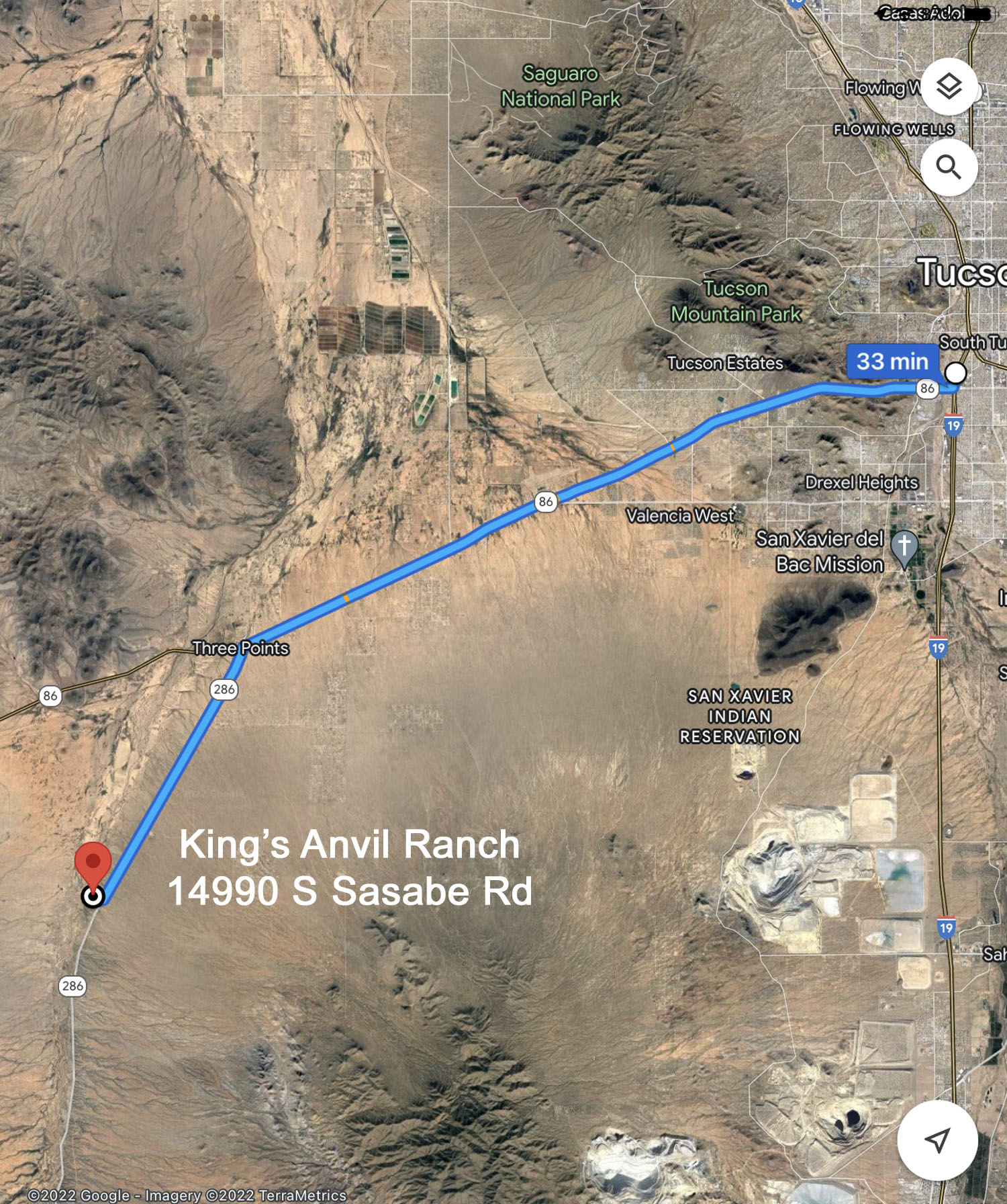
Location -Attendees will meet at the King’s Anvil Ranch on SR 286, south of mile post 38 at 8:15 AM. King’s Anvil Ranch is about a 30-minute drive southwest from the intersection of I-19 and Ajo Way (SR 86).
Proceed west on SR 86 to Three Points (approximately 21 miles), turn left on AZ 286 and drive south for 7.8 miles to King's Anvil Ranch (14990 Sasabe Rd.), which is located about 0.3 miles west (right) of the highway.
Carpooling - Due to limited space and dirt roads, carpooling is strongly encouraged. The dirt road to Stevens Mountain is not suitable for sedans and low clearance vehicles. Contact information for car pool arrangements is available on the event registration page, which includes a list of field trip participants.
Group size - Limit 50: Preference will be given to AGS members. A backup list will be maintained in case of cancellations. Please let us know in advance if you need to cancel to allow others to participate from the backup list. Once the limit of 50 has been reached, you can sign up on the wait list.
Meals -A selection of sandwiches, cookies, fruit, bottled water and sodas will be provided for lunch. Please notify Dennis Olson when registering if a vegetarian meal is required (dro24@nau.edu).
Level of Difficulty - All the stops except for the last one will be easily accessible exposures, where participants may walk a short distance on easy paths. Temperatures are expected to be in a pleasant warm range from 70 to 90 degrees F. Elevation is 1,000 to 1,200 meters (3,000 to 3,500 feet). Bring a light jacket if it is a windy or rainy day. Sunscreen lotion and a good hat to protect the head from too much UV are strongly recommended. Wear sturdy field boots. Eye protection is required to protect yourself not only from your own hammering on rocks, but also to shield you from rock chips flying off the adjacent geologist's pick. Hand protection is also encouraged (work gloves). No animals are permitted.
Brief Itinerary
Stop 1 - King's Anvil Ranch Geophysical Perspectives of Altar Valley
Jay Chapman will present a poster session on surface and sub-surface faulting in Altar Valley.
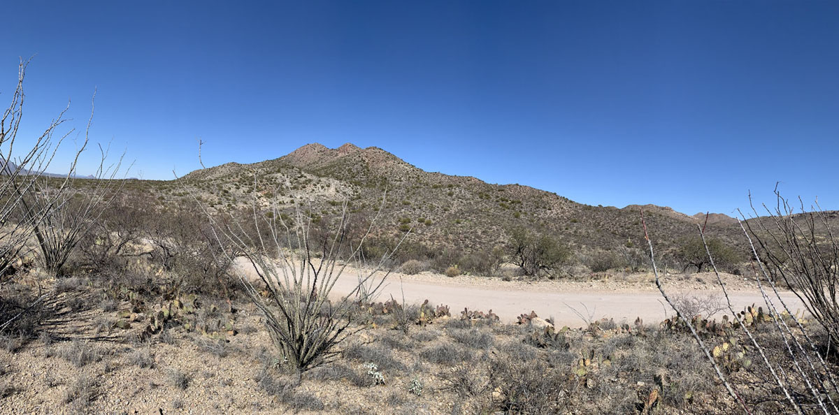
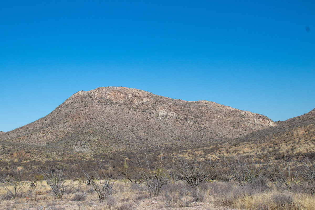
West Side of Stevens Mountain
Stop 2 – West Sierrita-Stevens Mountain Knob Viewpoint east of SR 286
This site, 6.5 miles east on T R Road, offers 360-degree views of the Baboquivari, Coyote, Stevens and Sierrita Mountains. Jay will present posters on the Jurassic stratigraphy showing features of the Stevens Mountain locale with both plan map and cross section A-A'. Features will include the Foothills fault, color changes in rock, evolution of landscape and Paleozoic-Mesozoic stratigraphy. Basin and Range normal faulting transitioning to the quiescent post-Miocene erosion phase will be discussed.
Dan Aiken will present posters and lead a discussion on the local mining districts.
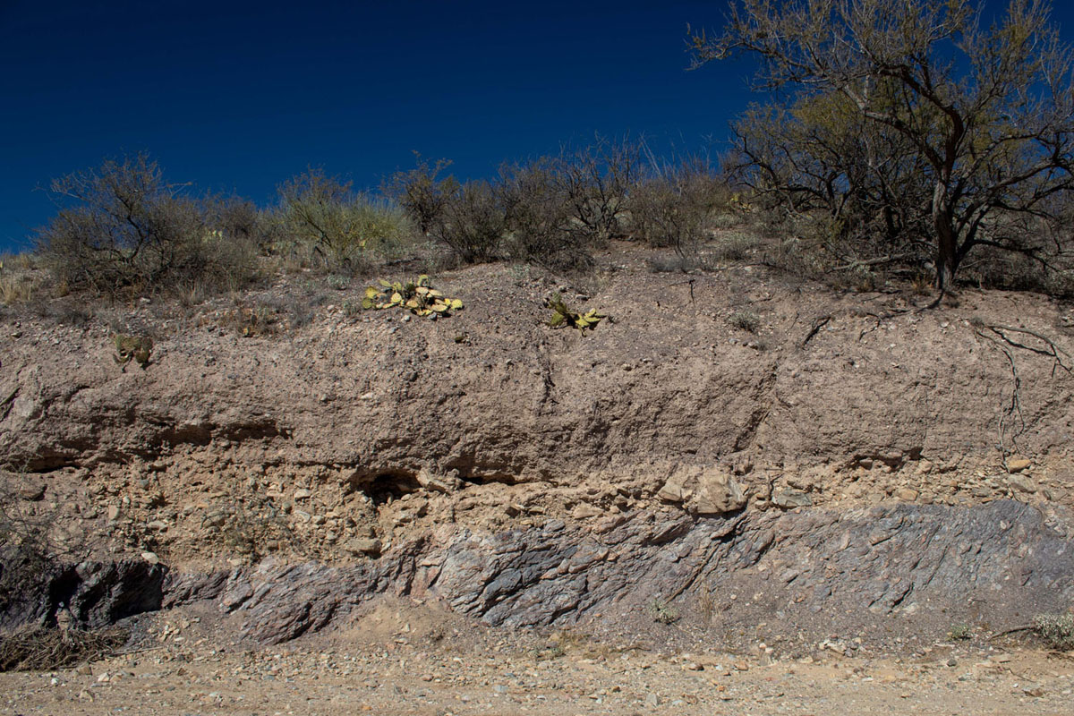
Banner Wash Outcrop
Stop 3 – Banner Wash Outcrops
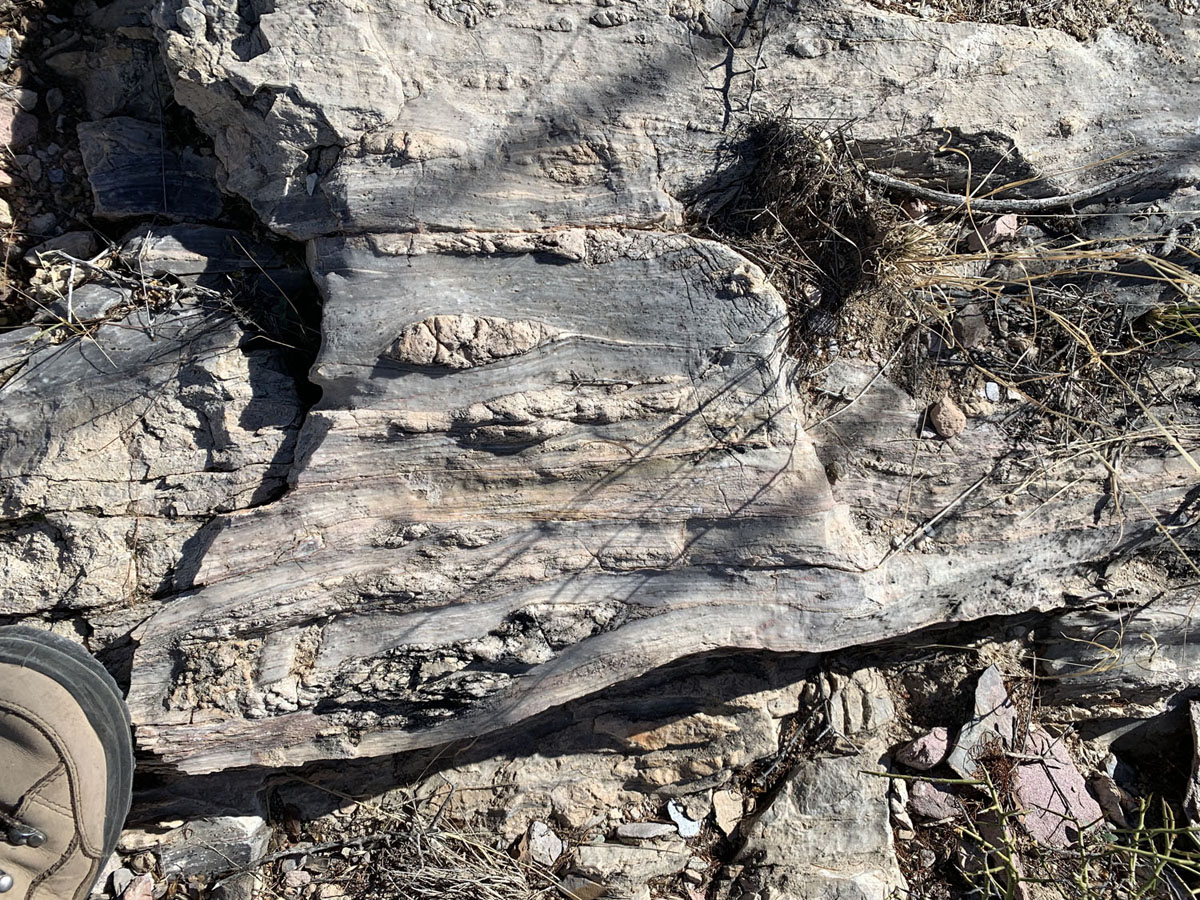
At about 7.5 miles on T R Road is Banner Wash which runs parallel to the T R Road and is accessible by vehicles which will allow us easy view of outcrops. Jay will discuss a "Tale of Two Unconformities," where the tilted Jurassic Topawa meta-shale (i.e. phyllite) is overlain by poorly consolidated range front clastic sedimentation, which reflects a ~170 million year hiatus. The undeformed Cretaceous Demetrie Volcanics overlies Jurassic units, indicating a 100 million year gap.
Near Stevens Mountain and Limestone Outcrop
Stop 4 – Lunch stop at steeply dipping Paleozoic Limestone outcrop with closed, abandoned mine nearby.
Three miles north of T R Road on Montezuma Mine Road, Jay will present a poster of the geology of Stevens Mountain-Banner Ridge area regarding the overturned Paleozoic-Jurassic stratigraphy to the north and east. Jurassic quartzite/sandstone exposures in the vicinity will be noted to develop the Jurassic erg (i.e. sandsheet) story from Colorado Plateau to southern Arizona. The Sierrita Caldera will be noted as well. Dan Aiken will discuss abandoned mines in Arizona.
Coyote Mountains
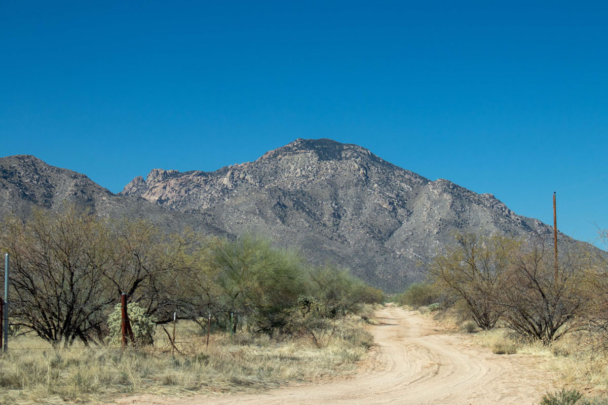
Stop 5 – Return to the King’s Anvil Ranch to retrieve our vehicles and then proceed to the Stop 5, six miles west of Three Points on Hayhook Ranch Road to view north side of Coyote Mountains.
The turn-off to Hayhook Ranch Road, a good dirt road, is about 6 miles west of Three Points, on the left. Stop 5 is about 2 miles south on Hayhook Ranch Road.
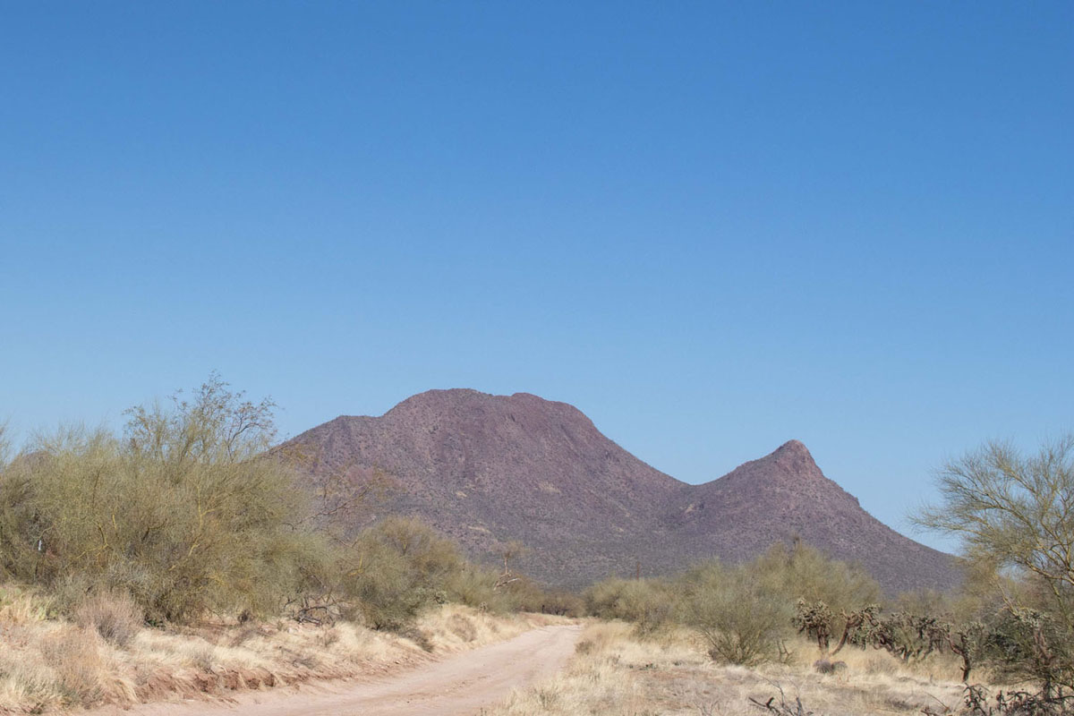
Jay will discuss the north side of the Coyote Mountains, the implied detachment, a large mylonite zone, the ramparts of Mendoza Canyon and pluton emplacement. Jay will also discuss the work that his student has done in Mendoza Canyon. Dr. Floyd Gray will discuss the Roskruge Mountains and U.S.G.S research in southwest Arizona during the last 40 years.
Roskruge Mountains
Stop 6 (time permitting) – End of Dills Best Road, Coyote Mountain Wilderness Area.
A final possible stop is 5 miles further toward the Coyote Mountain Wilderness, where a short 150-meter walk will provide views of the Coyote Mountains and Roskruge Mountains, with a poster session by Jay Chapman and Floyd Gray.
The route into the wilderness is a very old jeep trail and an easy hike for those wanting to explore more.
Contact Info - If you have additional questions about the Spring Field Trip contact Dennis Olson at (520) 241-5095 or dro24@nau.edu.